Create a free profile to get unlimited access to exclusive videos, sweepstakes, and more!
Southern California Under Hurricane Watch for First Time in History
Hurricanes aren't supposed to happen in Los Angeles.

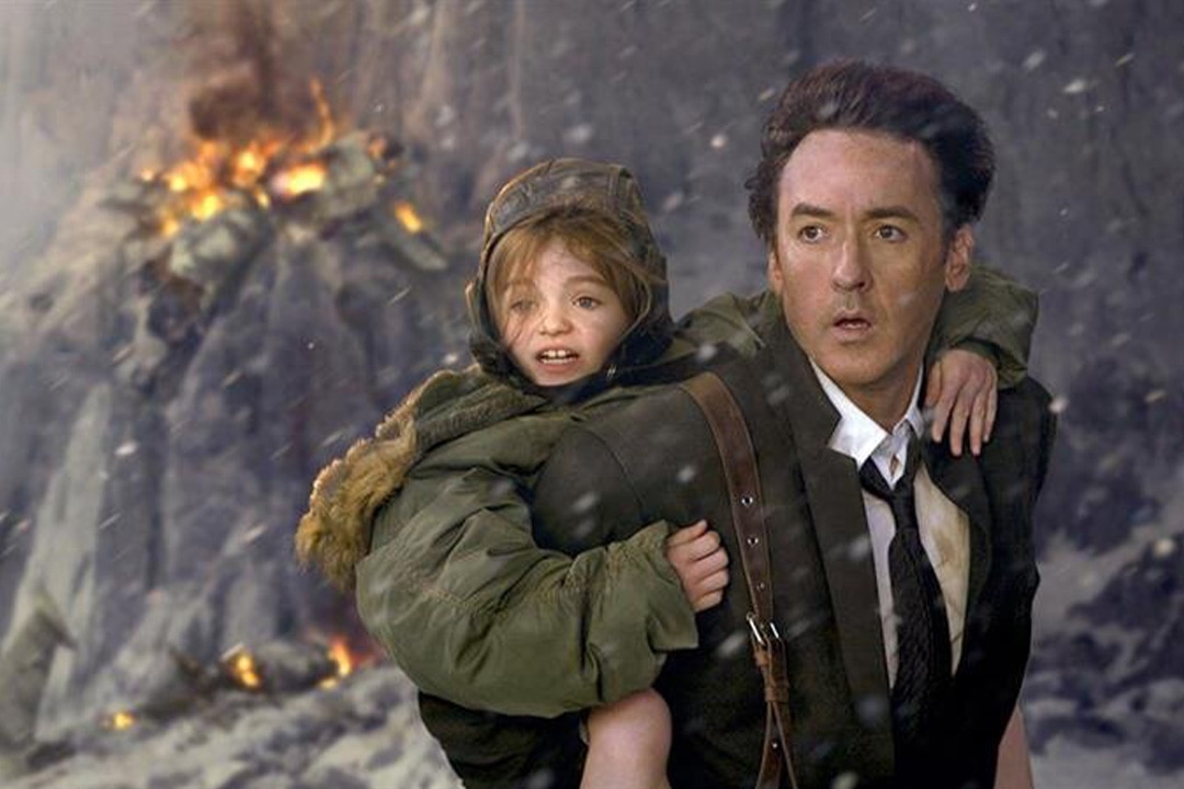
In 2009, the modern master of disaster, Roland Emmerich, delivered a new (and ancient?) vision of the end of the world in 2012, streaming now on Peacock. Jackson Curtis (John Cusack) is a failed science fiction writer, father of two kids, and our avatar for the end of the world.
RELATED: Which is the More Accurate Apocalypse? Deep Impacts vs. Armageddon
In the film, when the Sun starts acting up (not unlike the Solar Maximum we’re currently approaching), it heats up the core and triggers a wave of natural disasters including earthquakes, volcanoes, hurricanes, and tsunamis. It is the fulfillment of a probable misinterpretation of the Mesoamerican Long Calendar, which some believe predicted the apocalypse in 2012. While we weren’t destroyed over a decade ago, the headlines can sometimes feel apocalyptic, especially when we start seeing major weather events that “aren’t supposed to happen.”
Hurricanes on the West Coast of North America Are Rare!
It’s been 84 years…
Hurricanes hit North America all the time, but almost always from the east side. On average, two hurricanes hit the east coast every year, while the last time a major storm hit the west coast of North America was way back in 1939. There are a few reasons for this disparity in meteorological mayhem.
First, storms tend to move northwest as they evolve. When hurricanes form in the Atlantic, that trajectory brings them in line with the east coast of North America. When they form in the Pacific, that trajectory takes them away from North America. Second, water temperature plays a huge role in the formation and evolution of tropical storms and hurricanes. Temperatures along the Atlantic coast are comparatively warm, feeding storms as they approach. The Pacific, by contrast, is cooler and saps storms of energy as they get closer to land.
RELATED: Our Pale Blue Dot Is Turning Green, Thanks to Climate Change
Today, Friday, August 18, 2023, the National Hurricane Center in the United States issued a tropical storm watch for Southern California. It was the first watch of its kind they have ever issued for the area. The watch is in reference to Hurricane Hilary, which is currently a Category 4 storm off the coast of Guadalajara, Mexico, at the time of writing. The storm is moving north, without much westward movement, and is expected to strike parts of northwestern Mexico and the southwestern United States over the next several days.
The watch covers the California-Mexico border up through parts of Orange and Los Angeles counties. At present, Hilary has sustained winds of 145 miles per hour, well into the range of a Major Hurricane. However, owing to the aforementioned cooler water temperatures, Hilary is expected to weaken as it approaches land, downgrading from a Major Hurricane to a Tropical Storm.
Still residents of the affected areas can anticipate up to 10 inches of rainfall with the possibility of flash floods in some areas. If you’re in one of the impacted areas, you might want to hole up for the next few days and ride out what is, hopefully, a once-in-a-century event. For official information on the storm and how to prepare, please visit the LA City Emergency Operations Center.
You can fill a couple hours with Roland Emmerich’s 2012, streaming now on Peacock!


