Create a free profile to get unlimited access to exclusive videos, sweepstakes, and more!
Detecting Tsunamis from Space by Their Influence on the Air
This could expand warning times and save lives.

If disaster movies are to be believed (and why wouldn’t they be?) we’re always only one planetary temper tantrum away from total annihilation. The Earth has a vast array of doomsday weaponry powerful enough to give humanity its last bad day. Whether it’s a mega earthquake, a super volcano, or an Atomic Twister (streaming now on Peacock, by the way), it’s coming for all of us and there’s no way to stop it. Except of course for a crack team of scientists or construction workers, whoever Bruce Willis is playing.
Now, scientists have developed a way to detect tsunamis just moments after they first emerge in the ocean, potentially providing up to an hour of warning to impacted areas. We may not be able to prevent tsunamis from forming, but with a better warning system we might be able to tip the odds of a happy ending in our favor.
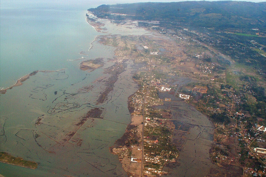
RELATED: Dinosaur-Killing Asteroid Triggered a Global Tsunami with Mile-High Waves
Scientists from NASA’s Jet Propulsion Laboratory (JPL) have developed a new monitoring system known as the GNSS Upper Atmospheric Real-time Information and Alert Network, GUARDIAN for short. NASA loves a good acronym and so do we!
HIJACKING GPS TO DETECT TSUNAMIS IN THE AIR
Ordinarily, GPS and other types of navigation satellites have to account for constant changes in the atmosphere. As pockets of air become more or less dense and wind currents move things around, it can impact the highly sensitive measurements satellites make. To ensure their data is correct, they have to account for those atmospheric changes, it’s an ordinary part of operating in space. And something satellites have gotten pretty good at.
GUARDIAN taps into that ability, gathering data from a number of spacecraft orbiting the planet, which collectively make up the global navigation satellite system (GNSS). Because satellites are always paying attention to changes in the atmosphere, they are among the first instruments capable of detecting a tsunami.
Smaller disturbances might go unnoticed, but tsunamis leave a big fingerprint in their literal and figurative wake. When a tsunami kicks off, several square miles of water can raise up and sink down again all at the same time. The rapid change in the location of so much water displaces the air above it to such a degree that satellites can and do detect that difference. While they’re busy correcting for the atmospheric change, GUARDIAN swoops in to sound the alarm.
At present, the data must be interpreted by experts who are trained to understand what they’re looking at, but researchers have plans to release the data to the public for real-time atmospheric monitoring. Even with the existing constraints, GUARDIAN is one of the fastest ways to detect a tsunami. Within 10 minutes of formation, GUARDIAN can build a picture of its impact on the ionosphere and provide up to an hour of advance warning, depending on where the tsunami forms and where it’s headed.
Today, the program is focused on the Ring of Fire, an area of particular activity in the Pacific Ocean which has been responsible for more than three quarters of all tsunamis in the past 200 years. A little more than half of that region is currently being monitored at any given time. In the future, an expanded version of GUARDIAN will monitor a wider area and automatically flag atmospheric changes driven by natural disasters.
Prepare for disasters of every shape and kind with San Andreas Quake, Oceans Rising, Atomic Twister, and more streaming now on Peacock!


